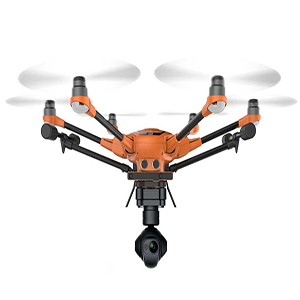
How Much Is a Drone Survey?
We structure our pricing for our drone roof surveys based on the size of the building but also on how much post video production, which involves the editing and identification of structural problems. Our drone pilots are extremely skilled, we use the most advanced drone technology. large expanses of roof areas can be covered in a short space of time. This means that the cost of a drone roof survey is significantly lower than other conventional survey methods.
All Our Images are HDR
It’s essential that all the images that make part of a roof survey contain sharp and detailed photography. For this reason, each image you receive from our CAA certified pilot will not only be high definition but also HDR (High Dynamic Range) This means that you will be able to see features in the shadow areas such as chimneys and tight corners in perfect detail.
Get a Drone Roof Survey Quotation
For a quick low-cost professional quotation simply send us your postcode or a google earth screenshot showing the roof areas to be surveyed. We then send you an accurate cost for work.
Part of our PFCO ‘Permission for Commercial Operation’ which is issued from the civil aviation authority CAA, talks about classes of airspace. We complete a risk assessment from the postcode area supplied. This looks at the class of airspace your building resides in. Depending on how close you are to controlled airspace, for example, the Heathrow Airport flight paths determine if we can legally fly our drones around your premises. Other factors such a how close neighbouring buildings also have a bearing on the flight. Where a flight is not possible, Green Tree Safety have a solution, we have a 30m (98ft) high telescopic pole with an HDR camera mounted on top. The height of the pole system covers most buildings and Churches.
Photogrammetry Software
We are increasingly being asked to provide photogrammetry software images for surveyors and architects. This software can also be used to map fields of crops, enabling a GPS controlled crop sprayer to accurately target a particular area of crops. The 4d software enables us to give you full imagery controlled models for analysis from the comfort of your offices. We also provide the option to have thermal imagery, this can be used when looking at energy performance to locate heat losses, in addition, high-level inaccessible mains power cables can be thermally photographed to look for heat spots on the cables.